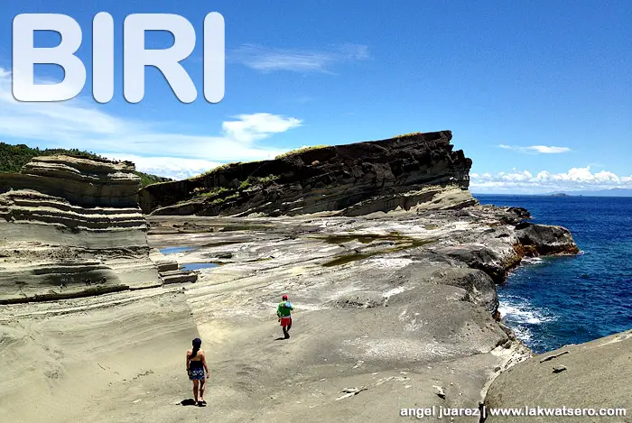
Biri Rock Formations
Biri, Northern Samar
Biri is the northernmost island group of Northern Samar. It lies in between San Bernardino Strait and Pacific Ocean.
The island municipality is dotted by its famous icons – the rock formations. The National Institute Geological Sciences Research of UP Diliman study reveals that the rock formations of Biri Island were deposited 18 to 24 million years ago in shelfal continental slope and formed by the underwater tectonic plates movement generated by earthquakes.
Today, the natural wonders of Biri are towering icons of the island that continue to attract tourists. It is not only one, but seven magnificent rock formations which they named Magasang, Bel-at, Magsapad, Caranas, Macadlaw, Puhunan and Pinanahawan.
